The island
Indonesia stops here.
The southernmost island in the archipelago, an hour of open water past Timor. Dry, low and quiet, with a west coast that has been catching the same swell for thirty years without being built on.
The reef sits close in, so the whole flat turns turquoise at low tide and the sun goes down behind it.
The ground
No volcano
Bali, Lombok and Flores sit on the volcanic arc. Rote does not. It is uplifted seabed, which is why the island is savannah rather than rice terrace and the water off it runs clear.
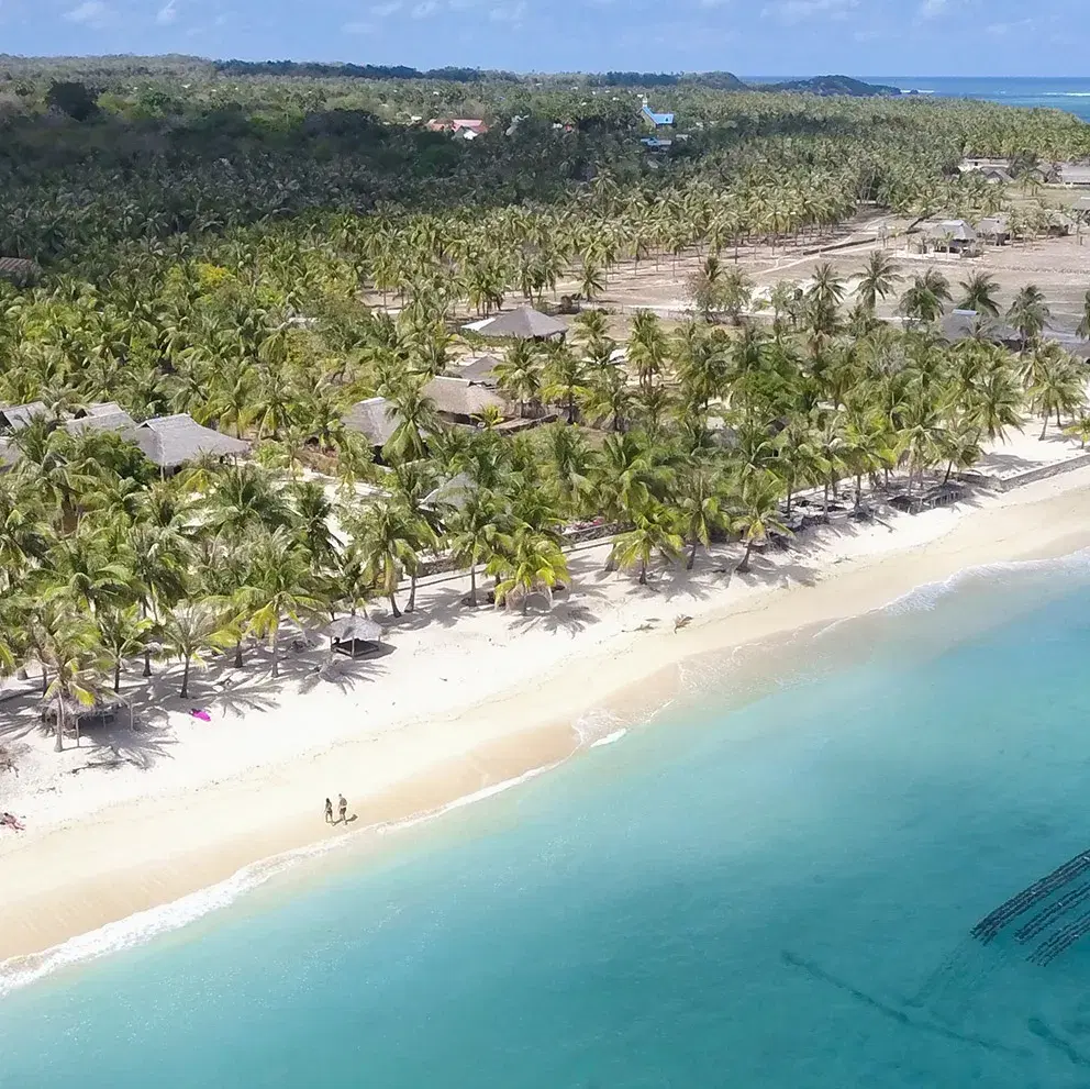 Photo: Anugerah Surf & Dive
Lontar
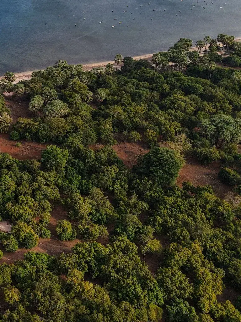
One palm feeds, roofs and clothes traditional life here. Ask what the island runs on and this is the first answer.
Life
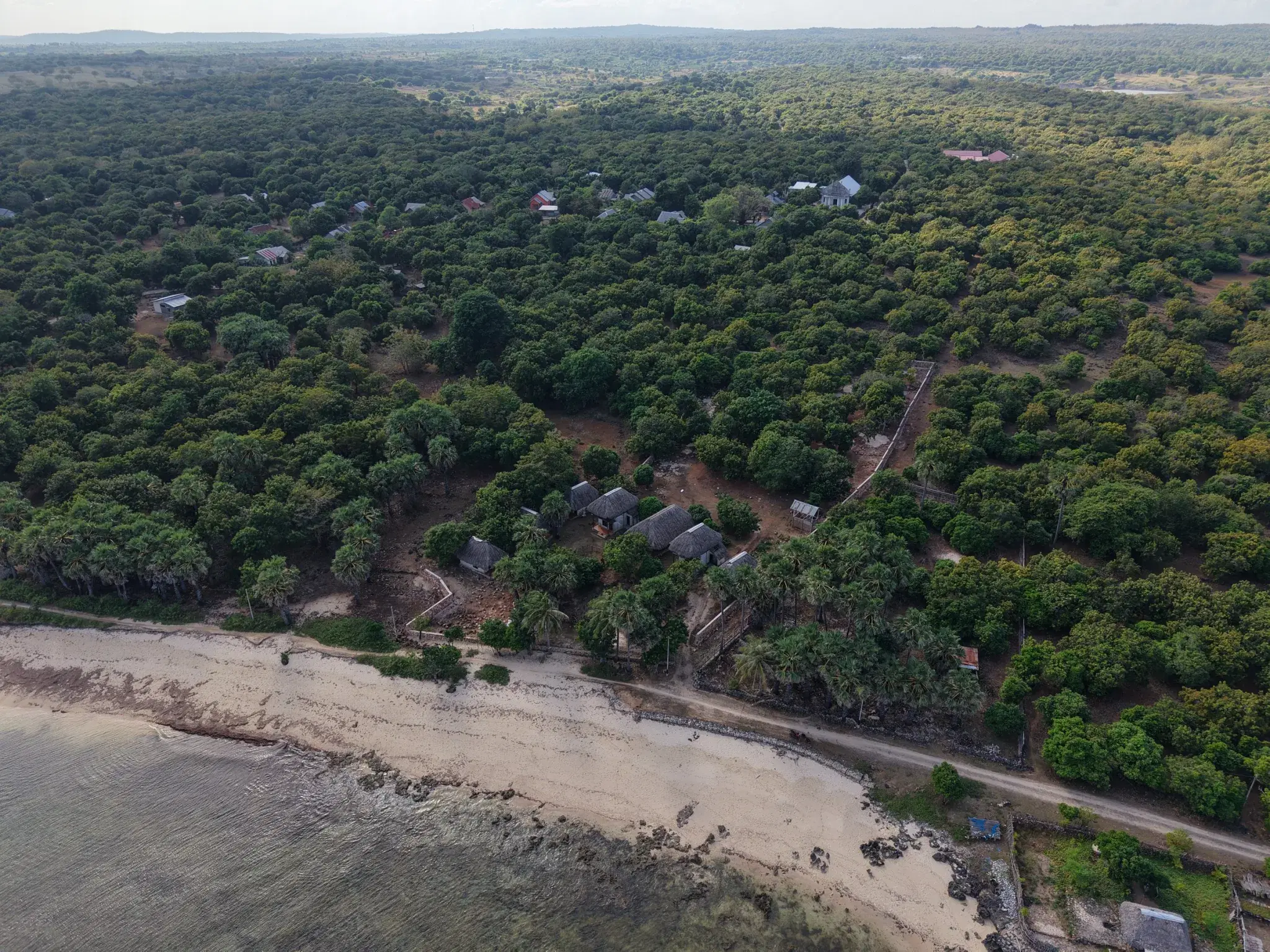
There are just enough people here to make good friends and feel at home, which is much of why the ones who are here stay. The travellers who find their way here are the kind and respectful sort, and the coast is turning quietly upscale, without any airs. Live on the west coast a month and you cannot cross it without running into a friend.
The year
Two hundred and fifty days without rain. The grass goes gold, the trades blow, and the surf season runs right through the dry.
↓ Season by seasonTourism
0.19%
of the island's economy is hotels, homestays and restaurants put together. Rote is not a tourism economy yet. That is the whole opportunity, stated as a fact.
People
155,000 people across 1,280 km², a Protestant island with languages of its own, and about 121 people per square kilometre against Bali's 811.
↓ Who lives hereEvery named wave on this coast.
Thirteen breaks. Open any one for shape, level and access
T-LandBesialu reef, off Nemberala1 km by boat
The headline wave, and the reason the island has a name in surfing. A long left over flat reef, quoted at 600 to 1,200 feet of ride and anywhere from 2 to 15 feet of face. Breaks on all tides and only goes fat on a small swell at high water. It is not one take-off but a run of peaks along the same reef, and on the right swell they join up.
The Point
The top of the reef and the shallowest of them. Steep drop, fast and hollow off the take-off. Some of the older operators call it The Peak.The Pyramid
The one most people surf. Sits in the middle of the reef and on a good day runs about 300 metres down the line into Bananas.The Mountain
Takes the most swell volume of the three, so it is where the wave stands up biggest and throws its barrel sections.Bananas
The end section, where the reef bends. Hollow and awkward, best on a mid to high tide, and the reward for making the whole wall.Nemberala BombieBeside the Besialu reefBeside T-Land
Glass or the lightest easterly, a south swell, and water on the lower side. When it lines up you get a barrel and then a long wall to drive off, and once the swell steps up it stops being fun for most people.
The SpitA gap in the reef, fifty metres across200 m south of The Point
Best on an easterly with plenty of water. The left is the one worth travelling for. The right is gentler but the bottom comes up fast, so it pays to know where you are sitting.
SquillersInside reef, Nemberala beachInside, off the beach
The soft one, on the inside between the beach and the Bombie. Mid to high tide, easterly wind, and a longboard. This is where people who are not ready for T-Land actually enjoy themselves.
1 PalmIn front of 81 Palms, SedeoenSedeoen, off the beach
The one to learn on, and the closest to the parcel. Works best on a lower mid tide and is fussy about water: come at dead low or high and it simply is not there.
Saku NamorSuckies, Sucky Mamas, Peanuts4 km north
Line up on the church. Two take-offs, one further out than the other, and both stand up hollow enough to matter. Go early, before the trades arrive. Avoid it at low water, and take a boat. The track in is not worth the bike.
Oe MauBoa6 km south
A right-hander of the kind Indonesia is known for, and it seldom pushes past eight feet. At four or five it hands you hollow sections and then a long wall to work. Any tide will do; a northerly or an early start does better.
Do’oOff Do’o island, in front of the coast10–20 min by boat
One of the waves off the uninhabited islands sitting in front of this stretch of coast. Uncrowded in a way that takes some explaining to anyone who learned to surf in Bali.
NdanaDana Island, the southernmost in Indonesia~30 min by boat
14 km², nobody living on it, half a day out of Nemberala. Both a left and a right run into the channel, and around the north-west side there is another left that only works when the sea is calm. Most people admit the sail home is half the appeal.
Bibi UsuNorth of NemberalaNorth, by boat
A wet-season wave that only wakes up on cyclone swell. Small by Rote standards and far heavier than its size suggests, and quick with it. The difficulty is the calendar: that time of year, boats and flights are cancelled often enough that you cannot plan a trip around it.
Fanny RockThe reef and rock beside Bibi UsuNorth, by boat
Everything at once: rock, thin water over the reef, a current that runs, and waves that break hard. Nobody here dresses it up. If you are wondering whether you are ready for it, you are not.
Dickson’s RightOn the boat charter listsBy boat from Nemberala
Another of the boat waves off this stretch of coast. The name gives away the direction and nothing else. Ask at Nemberala the evening before.
Petrol BombsNamed alongside Do’oLocation unpublished
Turns up on one surf guide’s list of Rote breaks with no description attached. Included because leaving it out would be tidier and less honest.
The secret spotsUnnamed, and staying that wayLocations unpublished
Beyond the named breaks there are waves here with no names at all: reefs and corners that work on their day and appear on no guide's list. This page will not name them either. They are found the way they have always been found: by spending some time on the island.
The core of the season is May to October, when south-west groundswell out of the Roaring Forties meets offshore south-east trades along this coast. Some operators quote March to November.
One parcel · sold by the owner
There is 7,000 m² of this coast for sale, in Sedeoen.
If you want the detail
The island, on the record.
Everything below is sourced, and none of it is needed to decide whether you like the place. Open what you want.
The geology, and why it matters
Indonesia's Lesser Sunda islands come in two arcs. Bali, Lombok, Sumbawa and Flores sit on the inner, volcanic one. Rote, Savu and Timor sit on the outer one, which is not. Rote's rock is marine sediment from the Permian through the Miocene, pushed above water where the Australian plate meets the Banda arc: the reef terraces you walk on were once underwater. Geologists dated the highest coral terrace, 200 m above the sea, at around 200,000 years old, and measured the island still rising at roughly 1.5 mm a year.
Roosmawati & Harris, Tectonophysics 2009. Pemkab Rote Ndao regional profile.
Climate, season by season
BPS Rote Ndao, Regency in Figures. Figures for 2022.
People, culture and language
Rote Ndao is its own regency and Rotenese identity is distinct from anywhere further west. Until the nineteenth century the island governed itself as a set of semi-autonomous domains called nusak, each with its own leadership, and customary authority, adat, still carries weight alongside the state.
The lontar palm
It feeds, roofs and clothes traditional life here: sap, sugar, thatch, rope, containers. Ask anyone what the island runs on and this is the first answer.
The sasando and the ti’i langga
A stringed instrument built from palm leaf and bamboo, and the wide palm-leaf hat with a spike. Both Rotenese, both carrying the iconography of the whole province.
More than one language
Bahasa Indonesia everywhere, Rotenese at home, English around the surf spots. Each nusak had its own speech variety; Dela, in the west, has about 11,000 speakers and its own reference grammar.
Where the money actually comes from
Seaweed is the headline crop, a national salt industry centre is being built at Matasio, and capture fisheries, maize and cattle carry most households. GRDP per capita is around IDR 27.9 million, growing about 4.39% a year over five years.
Share of Rote Ndao's economy by sector, BPS accounts for 2023.
The sea is a national park
The water around Rote is inside the Savu Sea Marine National Park: 3,355,352 hectares, the largest protected marine area anywhere in the Coral Triangle. It protects the reef, the seagrass, the mangrove, the beaches turtles nest on, and the whales that pass through on migration.
Reef, close in
Fringing reef along most of the west coast, shallow and near the shore, which is why the water goes turquoise at low tide. Mantas and dugongs are cited for the wider area.Mulut Seribu
The Thousand Mouths: a labyrinth of green inlets and limestone islets on the east side, designated an international tourism destination by the province. About two hours by road from Ba’a.Whales on passage
The deep water of the Savu Sea is a whale migration corridor: sperm and blue whales are recorded passing between the islands, and the park's conservation targets include the cetaceans and the beaches turtles nest on.What daily life involves
Coastal hazards, beside the coasts it gets compared with
Three hazards, three official models, one measure each: the wave height each probabilistic tsunami model gives for a 2,500-year event, the ground shaking the Global Earthquake Model gives on rock, and whether there is a volcano. The same yardstick for every coast, so the comparison holds.
Tsunami figures are maximum wave heights for a 2,500-year return period: Horspool et al. 2014 for Indonesia, NEAMTHM18 for Europe. Shaking is peak ground acceleration on rock with a 10% chance of exceedance in 50 years, read off the GEM map at Nemberala, Kuta, Kuta Mandalika, Cádiz and Catania. None of this is a guarantee, and any building here should meet Indonesian building code as it would anywhere in the country.
Getting here
Two flights and a drive, or a ferry if you like the sea.
Kupang's El Tari airport had its international status reinstated in 2025 and a Kupang to Dili route has been announced for 2026. A Darwin link is discussed and not yet scheduled.
Bali → Kupang
1 h 50Denpasar to El Tari, dailyKupang → Rote
20 minSusi Air 3× weekly, Wings Air near-dailyOr by sea
2 hFast ferry, daily, both directionsBa’a → Sedeoen
1 h36 km by car from the harbour